Artificial intelligence is rapidly transforming the drone industry, enabling UAVs to perform complex tasks with minimal human intervention. From precision agriculture and autonomous surveillance to high-accuracy mapping and predictive analytics, AI drones are becoming central to modern industrial operations. As industries demand faster, smarter and more data-driven solutions, drone AI technology is reshaping how aerial intelligence is captured and processed.
Indian drone ecosystem leaders such as Dhaksha Unmanned Systems are contributing to this technological evolution by supporting advanced UAV applications across agriculture, surveillance, mapping and industrial operations.
What Are AI Drones?
AI drones are unmanned aerial systems equipped with artificial intelligence capabilities that enable them to analyse data, make decisions, and perform autonomous operations in real time. Unlike conventional drones that rely heavily on manual control, autonomous drones use machine learning algorithms, computer vision, and sensor fusion to adapt to dynamic environments.
These drones can identify obstacles, optimise flight routes, detect targets, and process aerial imagery with minimal operator intervention.
Do drones use AI?
Yes, modern commercial and industrial drones increasingly use AI technologies. AI enhances drone functionality through:
- AI navigation systems for autonomous movement
- Obstacle avoidance for safer operations
- Automated flight planning for route optimisation
- Smart target tracking for surveillance and inspection
- Real-time image processing and analytics
AI allows drones to perform beyond simple aerial photography by enabling intelligent decision-making during missions.
How Does Drone AI Technology Work?
Drone AI technology combines onboard sensors, cameras, GPS modules, and machine learning software to create intelligent aerial systems. Data captured by the drone is processed either onboard or through cloud-based platforms.
Computer vision algorithms analyse visual information, while AI models interpret patterns, identify objects, and predict environmental changes. Advanced systems also use LiDAR, thermal sensors, and multispectral imaging to improve accuracy across different applications.
Through AI navigation, drones can autonomously adjust flight paths, maintain altitude, and avoid obstacles without direct pilot input.
Autonomous Drones and Smart Flight Capabilities
The rise of autonomous drones is transforming industries that require large-scale monitoring and rapid aerial response. Features such as automated flight planning enable drones to follow predefined missions efficiently while reducing human error.
Integrated obstacle avoidance systems use radar, ultrasonic sensors and AI-powered vision systems to detect objects in real time. This improves safety during operations in dense urban environments, industrial sites, and agricultural fields.
Another major advancement is smart target tracking, where AI drones automatically follow moving objects or monitor predefined areas without continuous manual control.
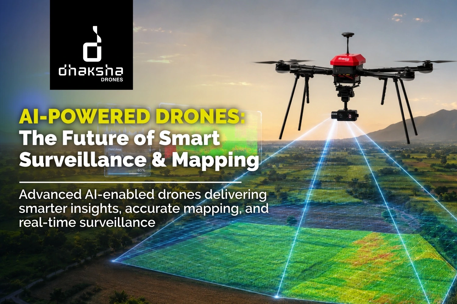
AI Drone Mapping and Geospatial Intelligence
AI drone mapping is revolutionising surveying, infrastructure planning, and land analysis. AI-powered UAVs can rapidly capture and process geospatial data to generate the following:
- Orthomosaic maps
- 3D terrain models
- Digital elevation models
- Volumetric analysis reports
AI improves mapping accuracy by automatically correcting image distortions, identifying terrain variations and optimising flight coverage. These capabilities make drones highly effective for mining, construction, smart cities, and renewable energy projects.
What Are the Key Applications of AI in Drone Technology?
Agriculture
AI-powered agricultural drones support precision farming through AI crop analytics and predictive monitoring systems. These drones analyse crop health, identify nutrient deficiencies and optimise fertiliser application. AI-driven insights help farmers improve productivity while reducing resource wastage.
The growing adoption of autonomous drones in agriculture is accelerating precision spraying, crop monitoring and yield prediction across India.
Surveillance
Smart surveillance drones are increasingly used for perimeter security, industrial monitoring and border surveillance. AI enables drones to detect unusual activities, identify objects, and monitor restricted areas in real time.
Advanced smart target tracking systems improve operational efficiency in surveillance and reconnaissance missions.
Public Safety
AI drones support emergency response teams through rapid situational awareness and predictive monitoring. During disasters or rescue operations, drones provide real-time aerial intelligence while reducing risk to human responders.
Public safety agencies also use AI-enabled drones for traffic monitoring, crowd management, and environmental assessments.
Mapping
In the infrastructure and geospatial sectors, AI drone mapping improves the speed and precision of surveying workflows. Automated processing reduces manual effort while increasing consistency in large-scale mapping projects.
Environment
Environmental monitoring is another major application area. AI drones are used to track deforestation, monitor wildlife habitats, and assess environmental changes over time. Through predictive analytics, drones help identify risk-prone areas and support sustainable planning.
Unmatched Speed and Accuracy
One of the biggest advantages of drone AI technology is the ability to process vast amounts of aerial data rapidly. AI-powered systems improve mission efficiency by reducing manual intervention while maintaining high operational accuracy.
Whether in agriculture, surveillance or mapping, AI-driven drones significantly outperform traditional workflows in both speed and scalability.
Cost and Labor Efficiency
AI drones reduce dependency on manual labour by automating repetitive and data-intensive tasks. Automated inspections, mapping missions and crop analysis minimise operational costs while improving output consistency.
Industries adopting AI drones benefit from improved productivity, reduced downtime, and faster decision-making.
Impressive Flexibility and Real-Time Adaptations
AI-powered drones can adapt to changing conditions during flight. Through machine learning and sensor integration, drones dynamically adjust routes, identify hazards and optimise mission parameters in real time.
This flexibility is especially important for industrial inspections, emergency response, and complex infrastructure operations.
What Is the Future Outlook for AI and Drone Technology?
The future of AI drones lies in deeper automation, edge computing, and advanced predictive analytics. Autonomous swarm operations, AI-powered traffic management and real-time cloud connectivity are expected to transform drone applications further.
As industries continue to adopt digital and data-driven workflows, AI-powered UAV systems will become increasingly important for surveillance, precision agriculture, infrastructure monitoring, and smart city development.
Companies like Dhaksha Unmanned Systems are contributing to this transition by providing scalable UAV solutions that align with India’s growing drone ecosystem.
Frequently Asked Questions (FAQs)
1. What are AI drones?
AI drones are unmanned aerial vehicles equipped with Artificial Intelligence technologies that enable autonomous navigation, data analysis and intelligent decision-making during operations.
2. Do drones use AI technology?
Yes, modern drones use AI for navigation, obstacle avoidance, target tracking, mapping, and predictive monitoring applications.
3. What is AI drone mapping?
AI drone mapping involves using AI-powered drones to capture and process aerial data for surveying, terrain modelling, and geospatial analysis.
4. How are AI drones used in agriculture?
AI-powered agricultural drones use AI crop analytics to monitor crop health, optimise fertiliser application and improve farm productivity.
5. What industries use autonomous drones?
Industries including agriculture, mining, infrastructure, defence, public safety and environmental monitoring use autonomous drones for data collection and operational efficiency.