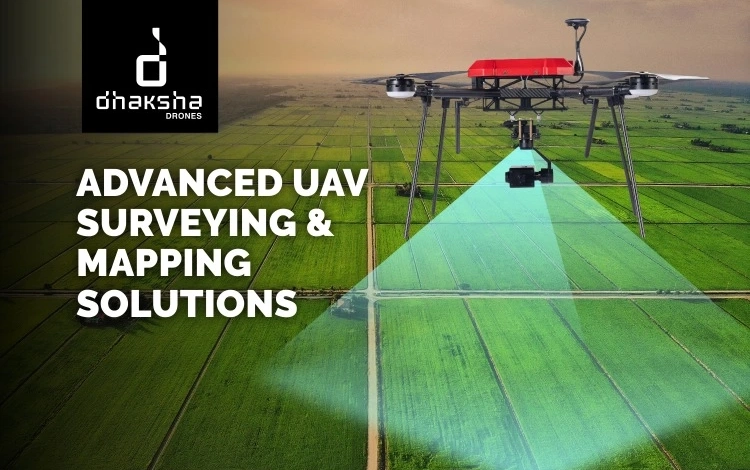
India’s infrastructure, mining, renewable energy and smart city projects demand reliable and engineering-grade geospatial intelligence. Drone surveying services in India are redefining how large-scale mapping, terrain modelling and corridor assessments are executed. At Dhaksha Unmanned Systems, advanced UAV platforms combined with trained and certified pilots deliver high-precision outputs suitable for industrial, government and enterprise applications. With a strong manufacturing base…